


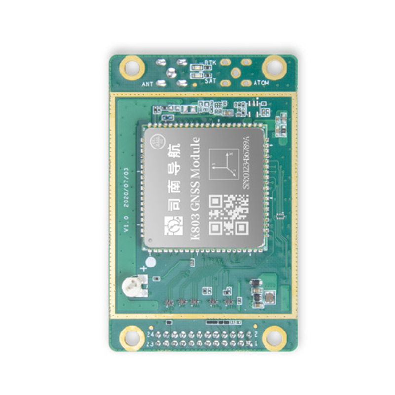
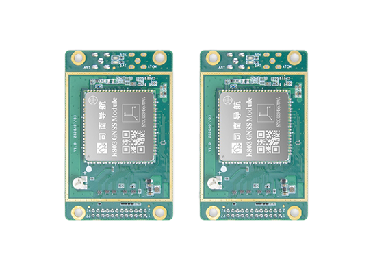
Product Description
Basic property
High-precision positioning: The product can achieve centimeter-level or even higher precision positioning, which is crucial for the accurate docking and navigation safety of ships in complex environments such as ports and waterways, and can effectively avoid the occurrence of ship collisions and other accidents.
Multi-system support: Support GPS, Beidou and other multi-mode positioning systems, can receive signals from multiple satellite systems at the same time, make full use of the advantages of different satellite systems, improve the reliability and accuracy of positioning, even in the case of some satellite signals blocked or interfered with, it can stably obtain accurate position information.
Fast positioning: It has the ability of fast positioning, and can obtain accurate positioning results in a short time, so that the ship can quickly recover accurate positioning after starting or passing through the signal interruption area, and ensure the continuity and efficiency of navigation
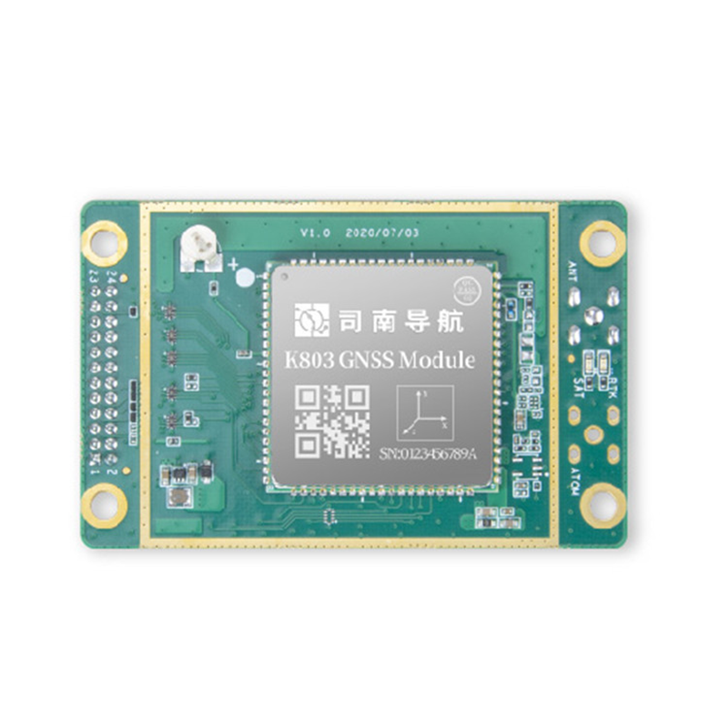
Product parameters
| name | argument | name | argument |
|---|---|---|---|
| Serial port | 3XLVCMOS | 1O pin | 2x12,2mm |
| PPS | 1 | Weight (g) | 20 |
| EVENT | 2 | Input voltage | +3.3-5.5VDC |
| VARF | 1 | Power consumption (W) | 1.2 |
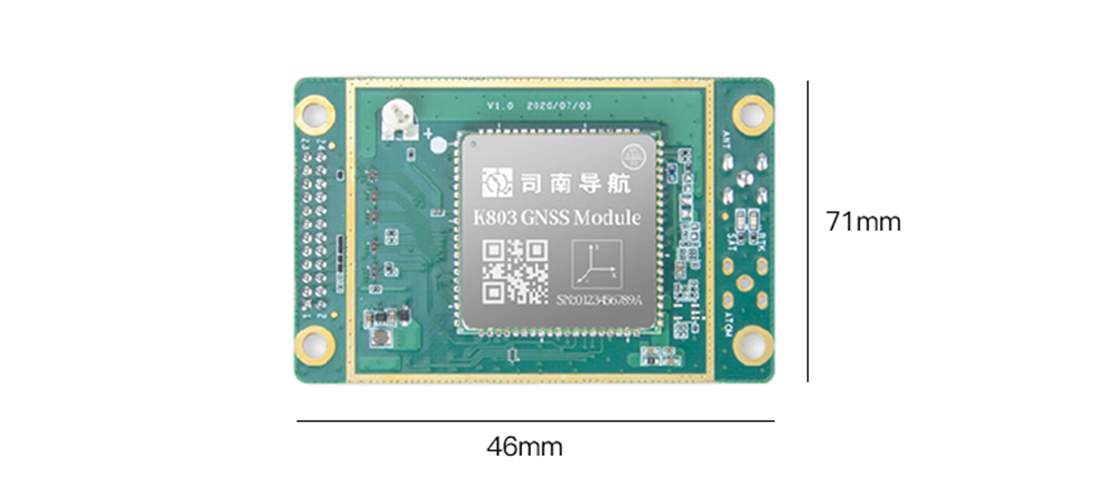
| ATOM | 1 | dimension | 46X71mm |
| SPI | 1 | Support network | 4G |
Technological innovation and advantages
Independent research and development and technology leadership: Sinan Navigation has a fully independently developed high-precision GNSS chip, which integrates the core RTK algorithm and is integrated into the module. The technology has reached the leading domestic and international advanced level, the product performance is guaranteed, and the monopoly position of imported products is broken, and it is exported to more than 100 countries and regions overseas
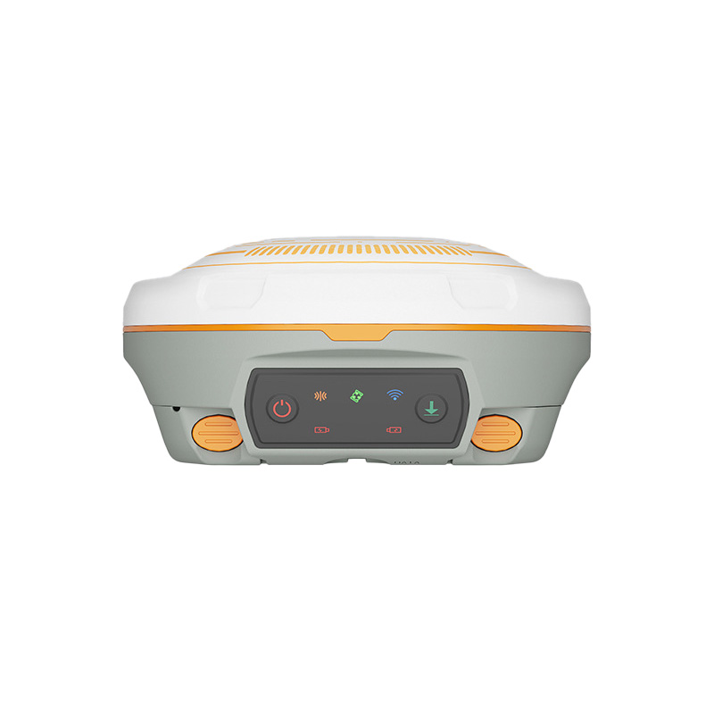
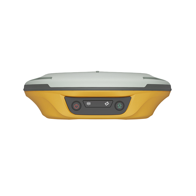
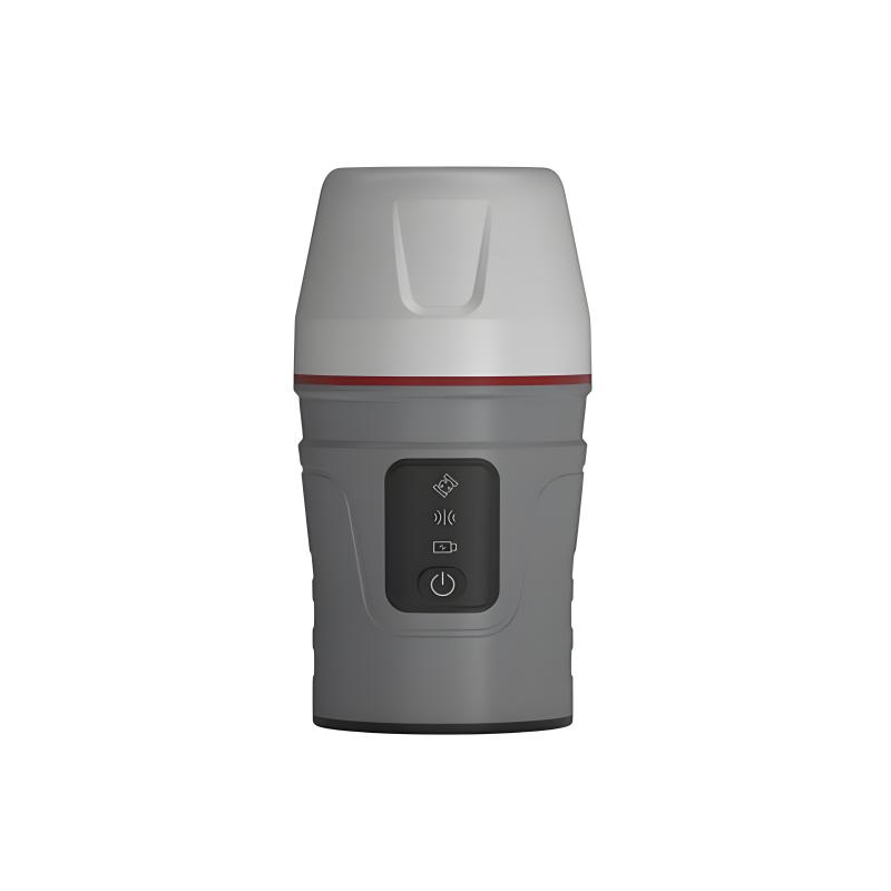
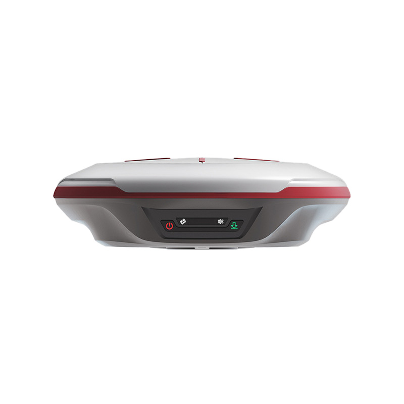
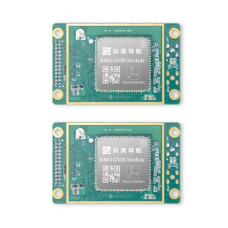
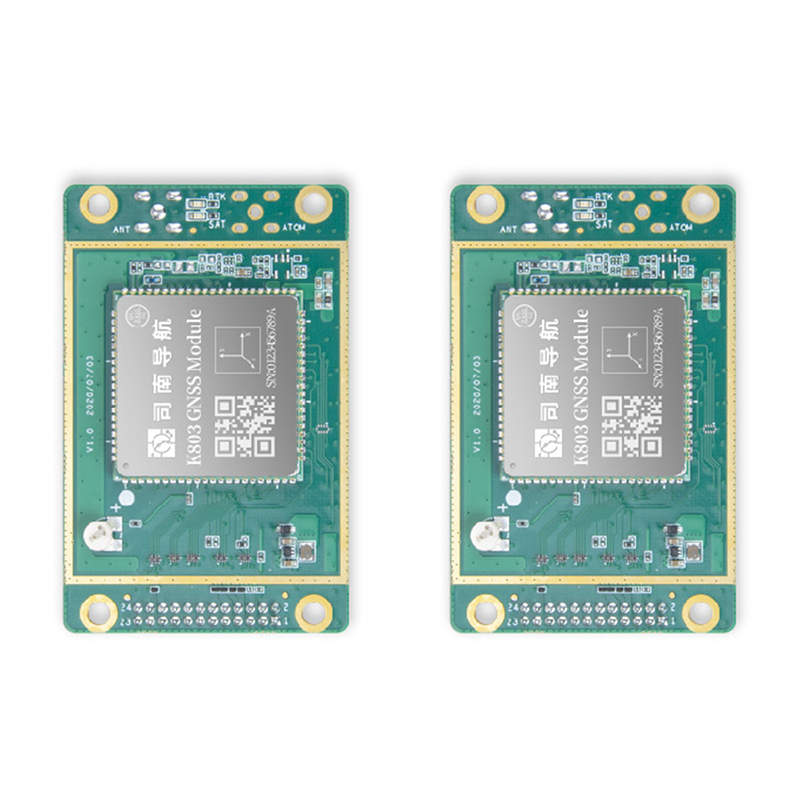
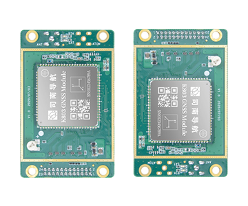
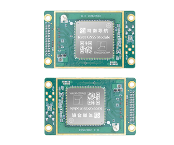
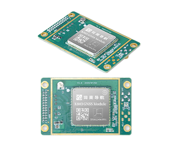
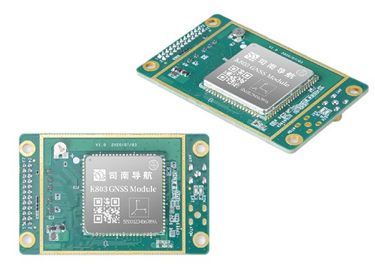
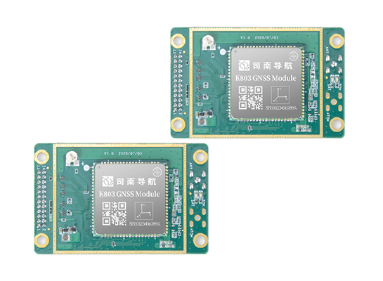
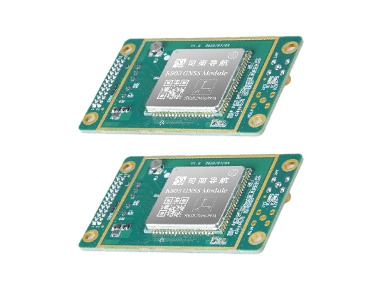
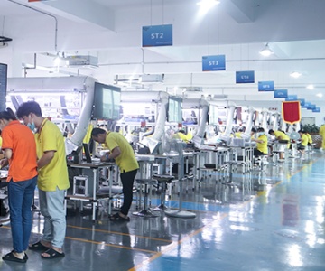
Product Display

High sensitivity signal reception
Signal tracking sensitivity is high, such as up to -155dB, can receive weak satellite signals, in the port near tall buildings, coastal mountains and other signal blocking more serious areas, can still stably track satellite signals, to ensure the continuity and accuracy of positioning.
Advanced algorithms and data processing
The advanced filtering algorithm and data quality control algorithm can effectively filter out interference signals and errors, improve positioning accuracy and reliability, and provide stable and accurate position information for ships even in complex electromagnetic environments and dynamic navigation conditions.
Optimized differential positioning technology
Combined with the Beidou foundation enhancement system, the ship's positioning information is corrected by receiving the differential correction data sent by the ground reference station to further improve the positioning accuracy. At the same time, the ionospheric delay processing method is optimized to improve the reliability of the long baseline during the ionospheric active period, so that the ship can obtain stable and accurate differential positioning service in the long distance sea voyage.
Miniaturization and low power consumption design
The product adopts miniaturized design, small size, light weight, easy to install on various equipment of the ship. In addition, the low-power design enables it to maintain a stable working state in the case of long-term use, reduce the energy consumption of the ship, extend the service life of the equipment, and is suitable for battery-powered application scenarios.
High reliability and stability
With high anti-interference ability and stability, it can work normally under complex environmental conditions, provide stable and reliable positioning services, and ensure the navigation safety of the ship in various bad weather and complex sea conditions.
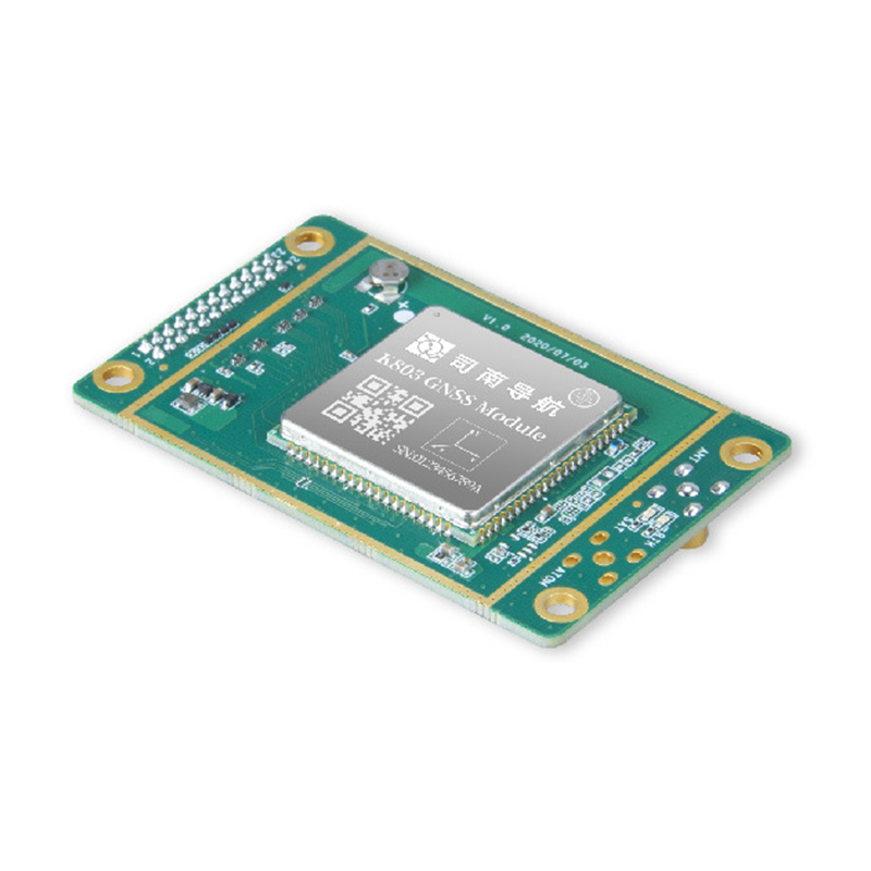
Dimension drawing
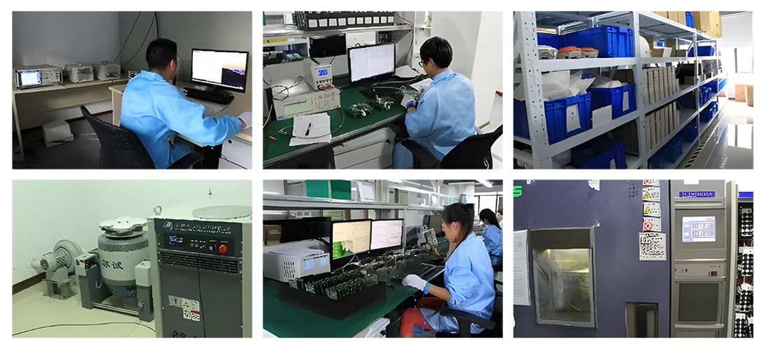
Quality Control
Raw material control: According to the industry demand, global select suppliers, with high-precision equipment to strictly screen raw materials from electrical performance, mechanical strength accuracy and other dimensions, to ensure that the quality exceeds the industry standard, build a solid foundation of high quality products.
Production process optimization: Customize the fine process according to the characteristics of the application field, automatic precision assembly for the production of geographic information acquisition equipment, modular assembly for the manufacturing of fine agricultural navigation equipment, and set up multiple detection points to ensure the accuracy of each link and product consistency, and meet the requirements of high-precision scenarios.
Performance verification system: Build a comprehensive and targeted verification system, simulate the actual scenes of various industries in depth testing, safety engineering products to do extreme environmental reliability verification, industrial measurement products and professional instruments compared calibration, only qualified products to enter the market, to provide users with reliable satellite navigation solutions.
Application Cases
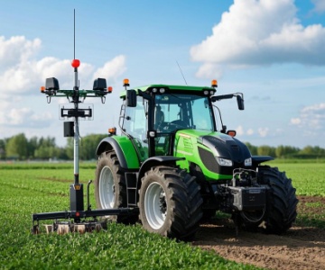
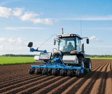
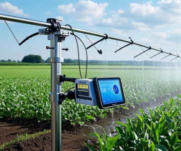
In the field of fine agriculture: a modern farm adopts the agricultural automatic driving system of Sinan Navigation to equip agricultural machinery such as tractors, planters and harvesters with high-precision positioning modules. In the sowing operation, the system can guide the agricultural machinery to seed along the precise route according to the pre-set field map and planting parameters, and the error of row spacing and plant spacing is controlled within a very small range, ensuring the uniform distribution of seeds, improving the land utilization rate and crop yield. In the irrigation link, through the linkage of positioning system and intelligent irrigation equipment, the irrigation water amount and time can be accurately controlled according to the soil moisture and crop water demand in different regions of the farmland, which realizes the efficient use of water resources, reduces the production cost, and improves the quality and market competitiveness of agricultural products.
Company Introduction
Sinan Navigation integrates the great achievements of China's high-precision GNSS technology, has a local R & D team specializing in high-precision GNSS core technology for many years, and more than 40 main technical backbone has won provincial and ministerial science and technology awards. Under the leadership of industry leader Dr. Wang Yongquan, Sinan Navigation has broken many foreign technical barriers, broken through the key technical bottlenecks of high-precision GNSS core algorithms, chips, boards, receivers, applications and industrialization, and developed a number of mature high-precision multi-mode and multi-frequency GNSS boards and receivers, filling the gaps in the field of high-precision GNSS at home and abroad for several times. At the same time, it is also the first satellite navigation enterprise that truly realizes the industrial application of Beidou in China.
Following the trend of compatibility and interoperability of the world's four major satellite navigation systems, Sinan Navigation flexibly meets the differentiated needs of users in different industries. Its business covers traditional surveying and mapping, geographic information, intelligent transportation, fine agriculture, machinery control, safety engineering, industrial measurement and other high-precision application fields, and its sales network covers more than 20 countries and regions around the world.
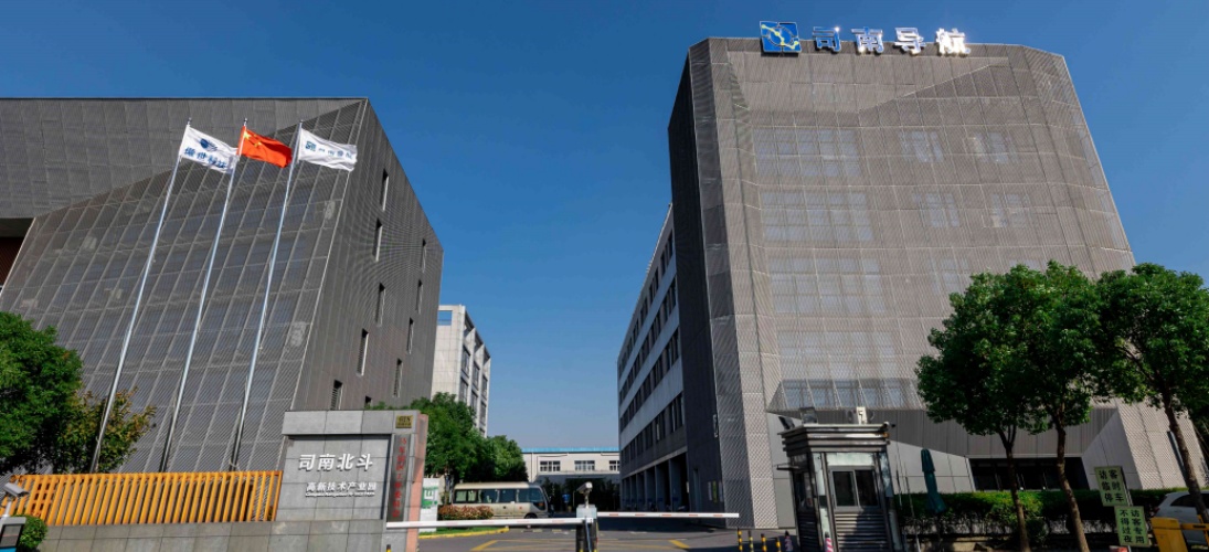
Sinan Beidou Industrial Park, with a total construction area of about 26,000 square meters invested by Sinan Navigation, is planned to be officially put into use in 2015, as the main research and development, production and application center of Beidou high-precision GNSS board in China, and will become a Beidou industrialization base that drives Shanghai, radiates the whole country and affects the world.

Cooperative partner
Service
Sinan Navigation is committed to providing customers with comprehensive, timely and professional after-sales service to ensure that customers have no worries in the process of using products:
Technical support:
We have a professional technical team, ready to answer all kinds of technical problems encountered by customers in the process of product installation, commissioning and use. Whether by phone, mail or online customer service platform, customers have quick access to technical experts for detailed and accurate technical guidance to ensure that products run smoothly and perform at their best. For example, for customers who are using high-precision positioning devices for the first time, technical personnel will patiently explain the operation process, parameter Settings, and solutions to common problems of the equipment to help customers quickly get started.
Training Services:
Provide customized training courses for customers, according to customers in different industries and application scenarios, in-depth explanation of product features, operation skills, and maintenance points. Training methods include on-site training, online training videos and operation manuals, etc., so that customers can choose learning methods according to their own needs, so that customers' technical personnel can master the use and maintenance skills of products, and improve customers' own technical capabilities and operational efficiency. For example, in the field of agriculture, special automatic driving system training is carried out for farm staff, so that they can learn how to set seeding and irrigation parameters according to the actual situation of the field, and give full play to the advantages of the product.
Repair and maintenance:
A complete maintenance service network has been established throughout the country and even around the world to ensure rapid response to customer maintenance needs. Once the product fails, customers can contact the local maintenance center through convenient repair channels, and the maintenance team will quickly diagnose the fault and take effective repair measures, and replace the original parts to ensure that the quality and performance of the product are not affected. At the same time, we provide customers with regular product maintenance suggestions and services to extend the service life of products and reduce the cost of use. For example, regular cleaning of navigation equipment, inspection of line connections and software updates ensure that the equipment can maintain high-precision positioning performance after a long period of use.
Software upgrade:
Continue to pay attention to the industry technology development and customer demand changes, constantly optimize and upgrade the product software, and provide free software update services for customers. New software releases may add new features, improve positioning accuracy, enhance system stability, or optimize compatibility with other devices, so that customers can always enjoy the most advanced technology results, enhance product competitiveness and adaptability, and meet the evolving business needs of customers. For example, with the continuous development of satellite navigation systems, software is updated in a timely manner to support new satellite signals and algorithms, providing customers with more accurate and reliable positioning services.