


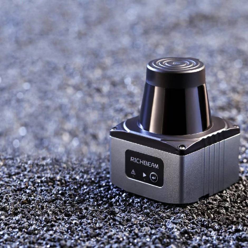

产品描述
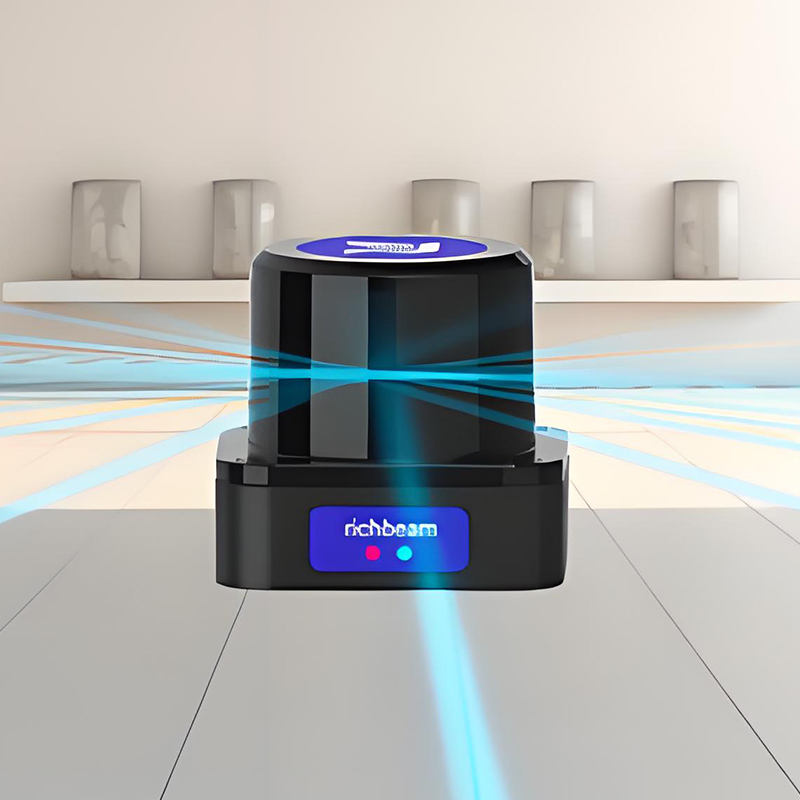
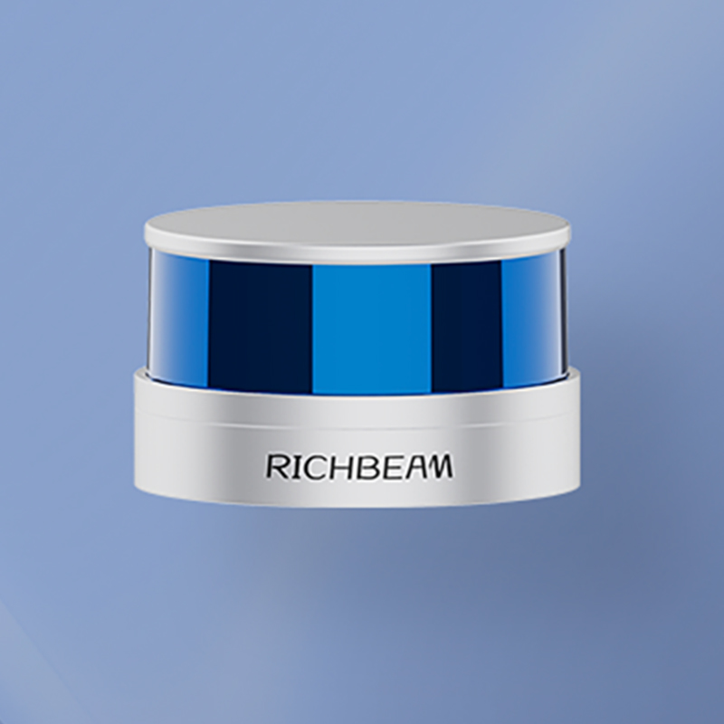
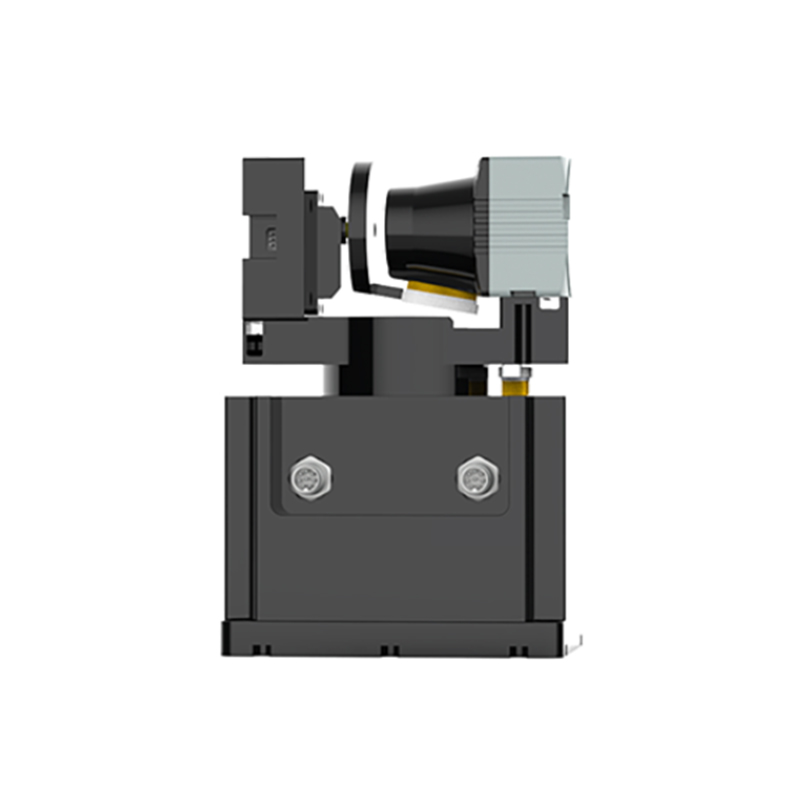
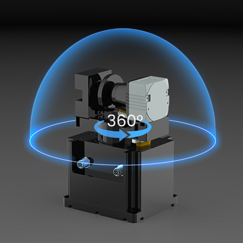
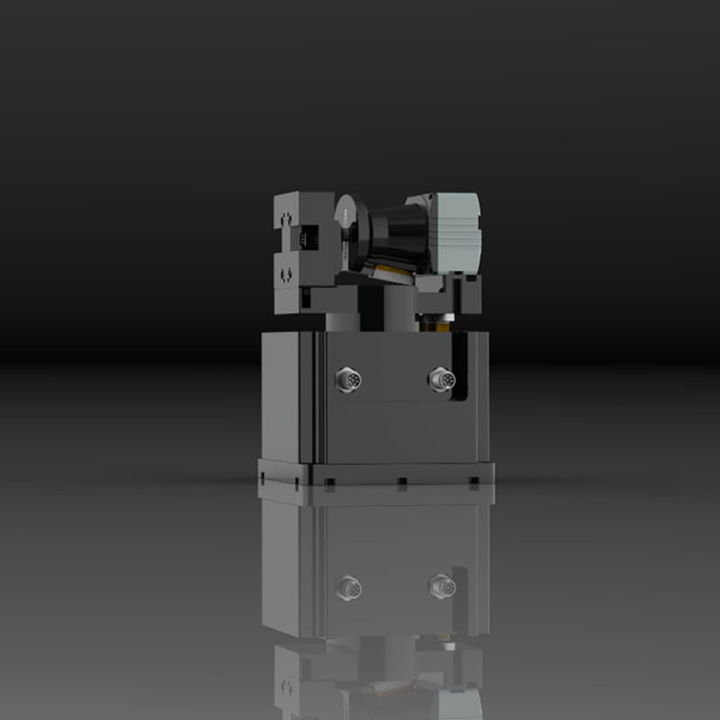
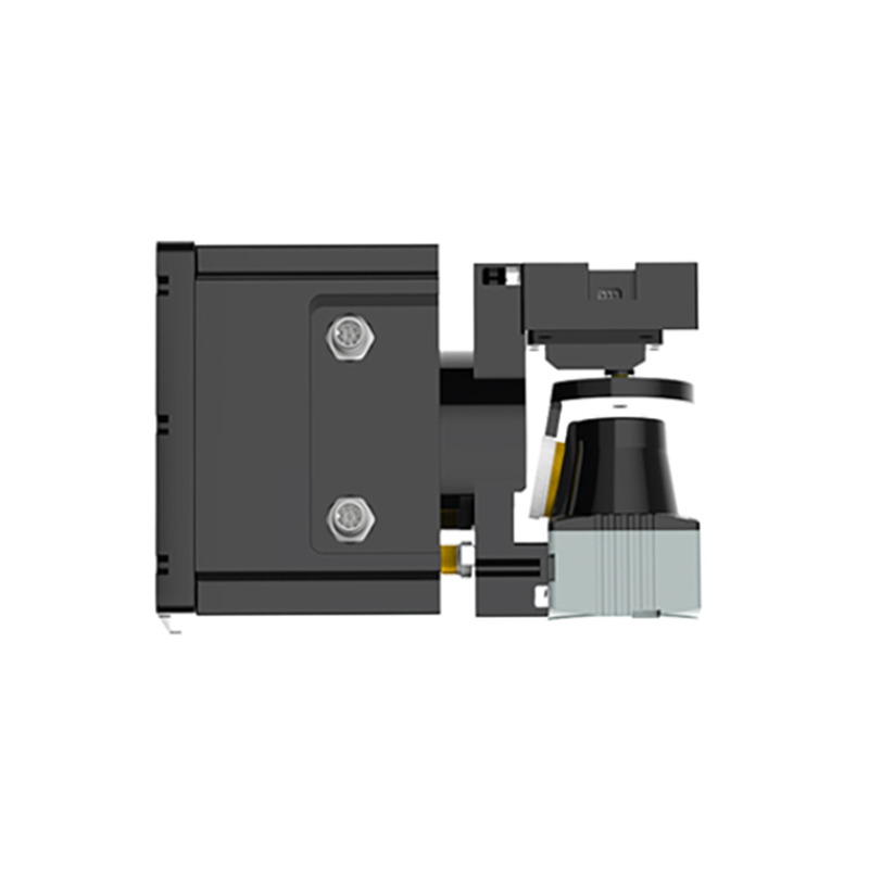
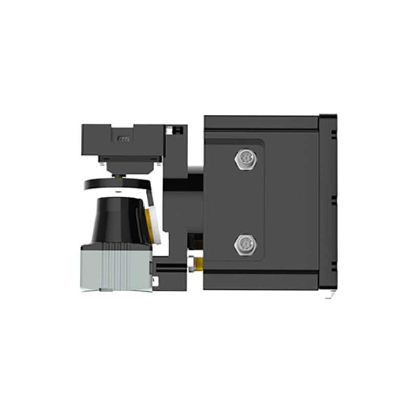
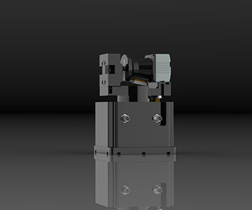
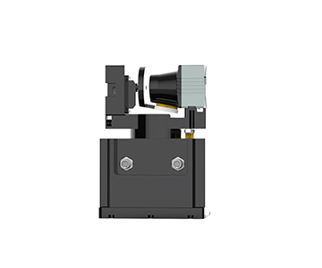
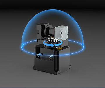
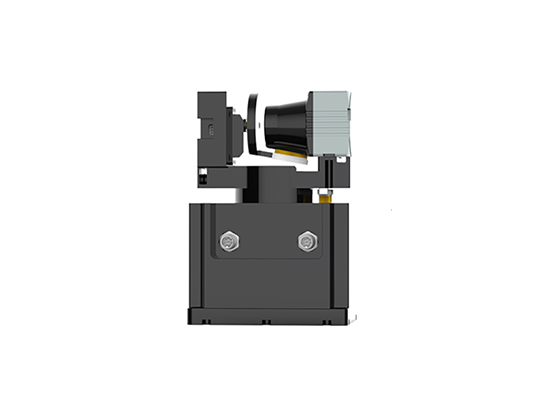
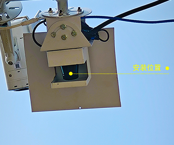
工业级高精度3D扫描模组是锐驰智光自主设计、研发和生产的一套智能体积测量系统。该系统采用一体化设计,结构紧凑,性能强大。设备集成了Lakibeam激光雷达、云台和高清摄像头,利用激光雷达270°和云台360°的扫描能力,实现对目标物体的三维重构。矿山料堆体积测量粮仓料堆体积测量酒厂料堆体积测量焚烧炉垃圾体积测量。
产品参数
| 名称 | 参数 | 名称 | 参数 | 名称 | 参数 |
|---|---|---|---|---|---|
| 雷达型号 | 高精度3D扫描模组 | 激光雷达扫描角度 | 270°(max) | 测量精度 | ±2cm |
| 激光波长 | 940nm | 云台扫描角度 | 360°(max) | 抗环境光 | 100000LuX |
| 人眼安全级别 | Class1(IEC60825-1)人眼安全 | 数据网口 | 100Mbps以太网 | 激光雷达角度分辨率 | 0.1°(可调) |
| 量程 | 40m@70%反射率 | 云台分辨率 | 0.09°(可调) | 工作温度 | -25℃至60℃ |
| 工作电压 | 24V DC(可选POE) | 工作功率 | <15W | 防护等级 | IP65 |
| 储存温度 | -40℃至80°C | 摄像头 | 可选 | 自清洁 | 具有自动清洁模块 |
产品展示
高精度3D扫描
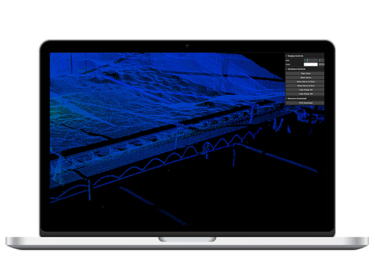
凭借自研的光学芯片和高性能硬件架构,能够捕捉到高密度的点云数据,详细还原目标物体的空间细节。
超大视场角
360°×270° 超大视场角,完整捕捉周边细节 可视化界面。用户可以实时查看激光雷达的扫描结果,获取高密度的点云数据,无需安装软件,打开浏览器即可随时随地掌控区域动态。
自清洁
设备专门设计了清洁毛刷,能够检测和清除激光雷达外壳上的灰尘、污垢和水滴,避免因外界污染影响扫描精度和数据质量。
远程管理
3D扫描模组赋予了用户对设备的全面控制和监控能力,通过设备自带的高清摄像头,用户可以实时查看现场的运行状态,调整扫描参数,并对设备进行故障诊所和维护。
抗环境强光
有效过滤强光干扰,保持高精度的扫描效果,不受黑夜白天光线影响。
解决方案推荐
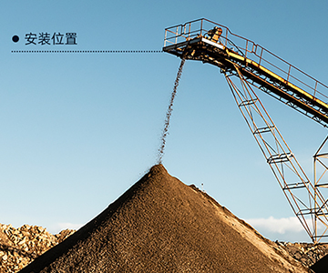
3D扫描模组作为一种先进的测量手段,在矿山管理和运营中,能够精准测量料堆体积,极大缩短测量周期。
品控
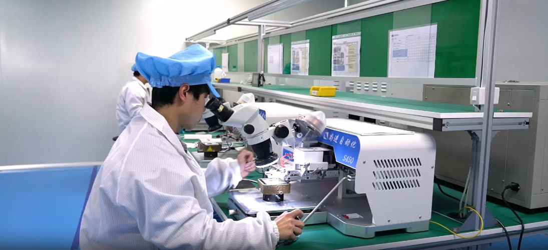
- 校准设备精度:使用高精度的校准设备和仪器对激光雷达进行校准和标定,如高精度的测距仪、角度仪等,并定期对校准设备进行校准和维护,确保其精度和准确性。
- 校准方法与流程:制定科学合理的校准方法和流程,严格按照标准操作程序进行校准和标定工作,保证校准结果的一致性和可靠性。例如,对激光雷达的距离测量进行多点校准,对角度测量进行全方位校准等。
- 校准数据记录与追溯:对校准过程中产生的各项数据进行详细记录和保存,建立校准数据档案,以便对产品的质量状况进行追溯和查询,同时也为后续的质量改进提供数据支持 。
应用案例
激光雷达的应用非常广泛,以下是一些常见的应用领域:
- 自动驾驶领域:高精度定位结合高精度地图,激光雷达可以通过对周围环境特征的识别和匹配,实现车辆的高精度定位,确定车辆在地图中的准确位置,从而为自动驾驶的路径规划和导航提供可靠的基础。
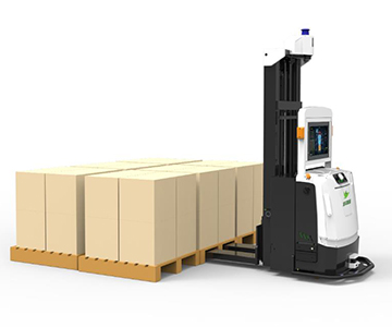
- 机器人领域:导航与定,工业机器人、服务机器人、仓储物流机器人等可以利用激光雷达获取周围环境的信息,实现自主导航和精确定位,从而在复杂的环境中准确地移动到目标位置,完成各种任务,如物料搬运、清洁、巡检等。
- 智能交通领域:交通流量监测,安装在道路上方或路边的激光雷达可以实时监测道路上的车辆流量、速度和密度等信息,为交通管理部门提供准确的数据支持,以便更好地进行交通信号控制、拥堵疏导和交通规划。
服务
- 安装调试:协助客户进行激光雷达的安装和调试工作,确保设备能够正常运行。激光雷达的技术支持包括产品安装、调试等服务,帮助客户更好地使用和维护产品。
- 使用培训:为客户提供产品使用培训,使客户能够熟练掌握激光雷达的操作方法和注意事项,正确使用设备,延长设备使用寿命。
- 问题咨询解答:客户在使用过程中遇到问题时,可随时向售后技术支持团队咨询,技术人员会及时解答疑问,提供解决方案。
- 远程协助:通过电话、邮件、在线客服等方式,为客户提供远程技术支持,帮助客户解决一些简单的问题,快速恢复设备运行。