


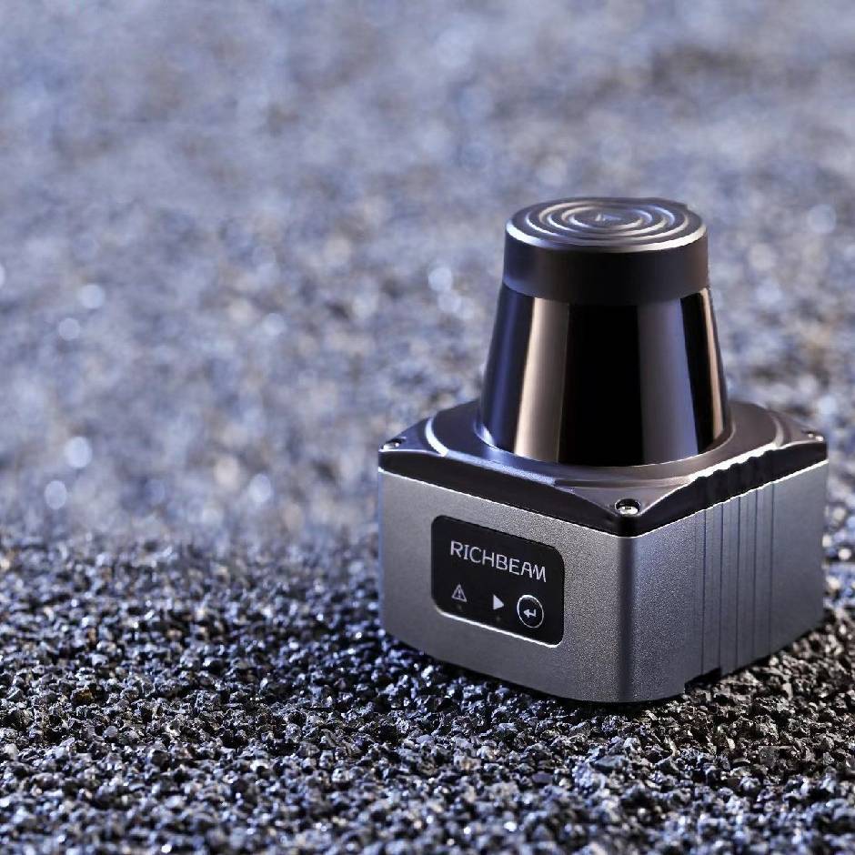

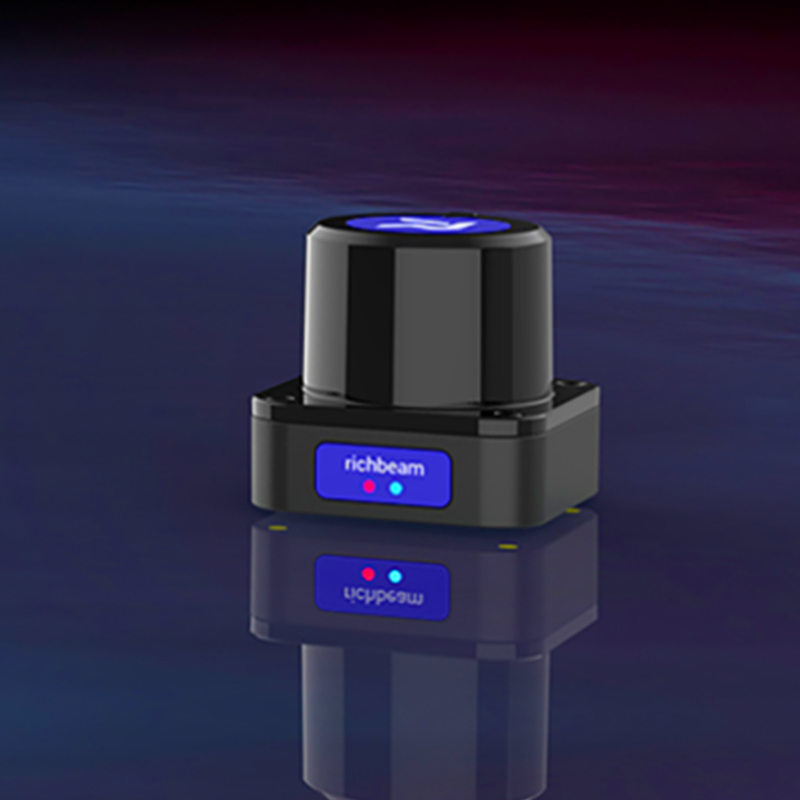
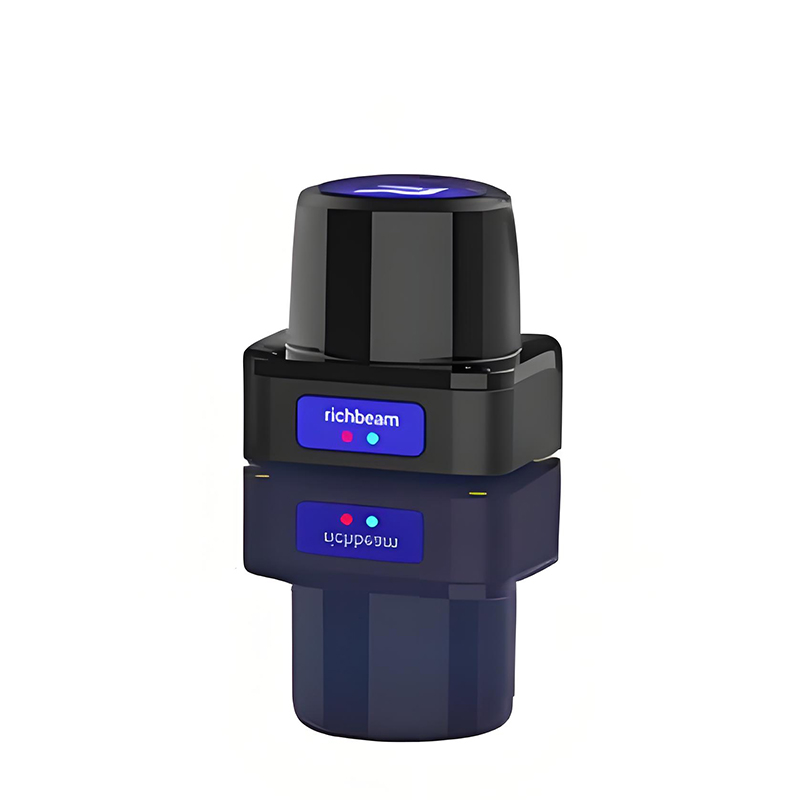
Product Description
LoraBeam series is the latest generation of single-line dTOF liDAR released by Rietchi, with the technical innovation of the new architecture, truly achieve 0 blind zone and centimeter-level accuracy error. Its industrial design volume is greatly reduced, power consumption is significantly reduced, and it is a very cost-effective liDAR in the same type of model.
Product parameters
| LoraBeam 1 | LoraBeam 1s | LoraBeam 1L | |||
|---|---|---|---|---|---|
| Scanning principle | Principle of ranging | Scanning principle | Principle of ranging | Scanning principle | Principle of ranging |
| One-dimensional rotating mirror | dTOF | One-dimensional rotating mirror | dTOF | One-dimensional rotating mirror | dTOF |
| Measurement accuracy | Sweep frequency | Measurement accuracy | Sweep frequency | Measurement accuracy | Sweep frequency |
| +2cm | 10Hz 15Hz 20HZ 25Hz 30Hz | +2cm | 10Hz 15Hz 20Hz | +2cm | 10Hz 15Hz 20HZ 25Hz 30Hz |
| Anti-ambient light | Dot frequency | Anti-ambient light | Dot frequency | Anti-ambient light | Dot frequency |
| 100000LuX | 45KHz | 100000Lux | 15KHz | 100000Lux | 45KHz |
| Class of protection | Horizontal field Angle | Class of protection | Horizontal field Angle | Class of protection | Horizontal field Angle |
| IP66.IP67(可选) | 270° | IP66.IP67(可选) | 270° | IP66.IP67(可选) | 270° |
| Detection range | Detection range | Detection range | |||
| ≥25m(70%reflectance) ≥15m(10%reflectance) | ≥15m(70%reflectance)≥ 10m(10%reflectance) | ≥40m(70%reflectance) ≥20m(10%reflectance) | |||
| Horizontal angular resolution | Horizontal angular resolution | Horizontal angular resolution | |||
| 0.08°0.12°0.16°0.2° 0.24° | 0.24°0.36°0.48° | 0.08°0.12°0.16°0.2° 0.24° | |||
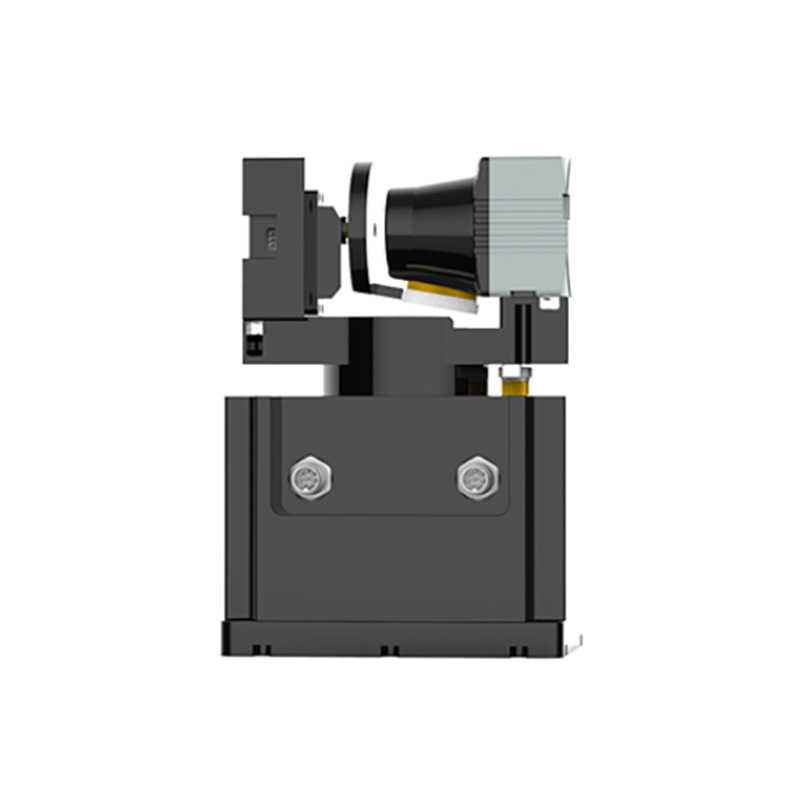
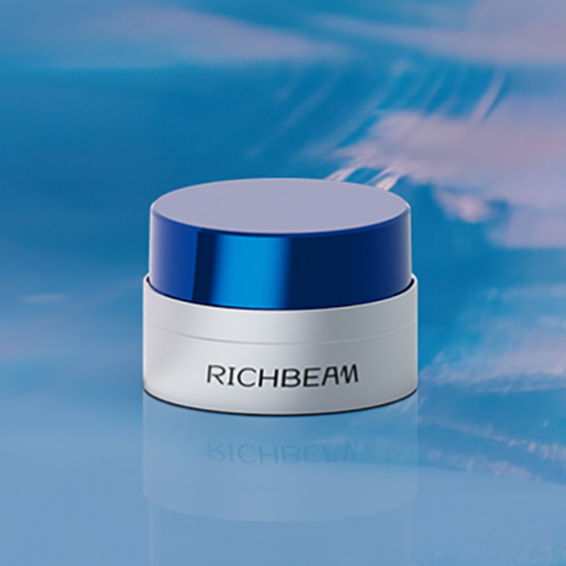
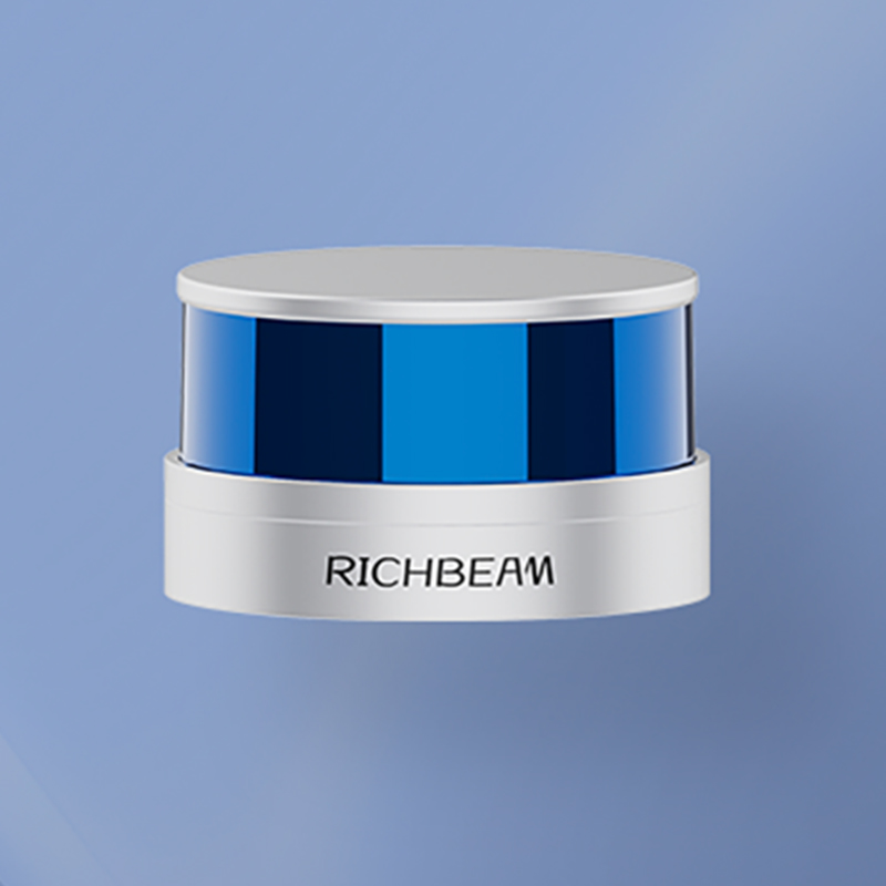
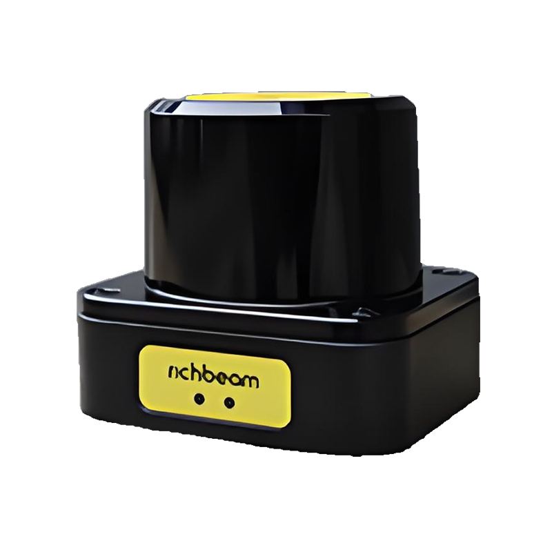
Product Display
The simulation test of LoraBeam with different light intensity, temperature, humidity, reflectivity, dust and fog shows that point cloud data has excellent performance on edge, texture and feature lines, and has high stability.
We have a production base in Suzhou, covering an area of nearly 3000 square meters, equipped with advanced production facilities and automated processes to ensure that we can quickly respond to delivery needs of all sizes from fine customization to high volume production.
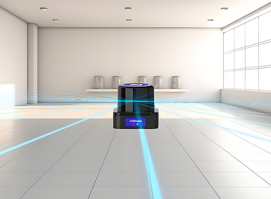
As far as the eye can see, there is no hiding
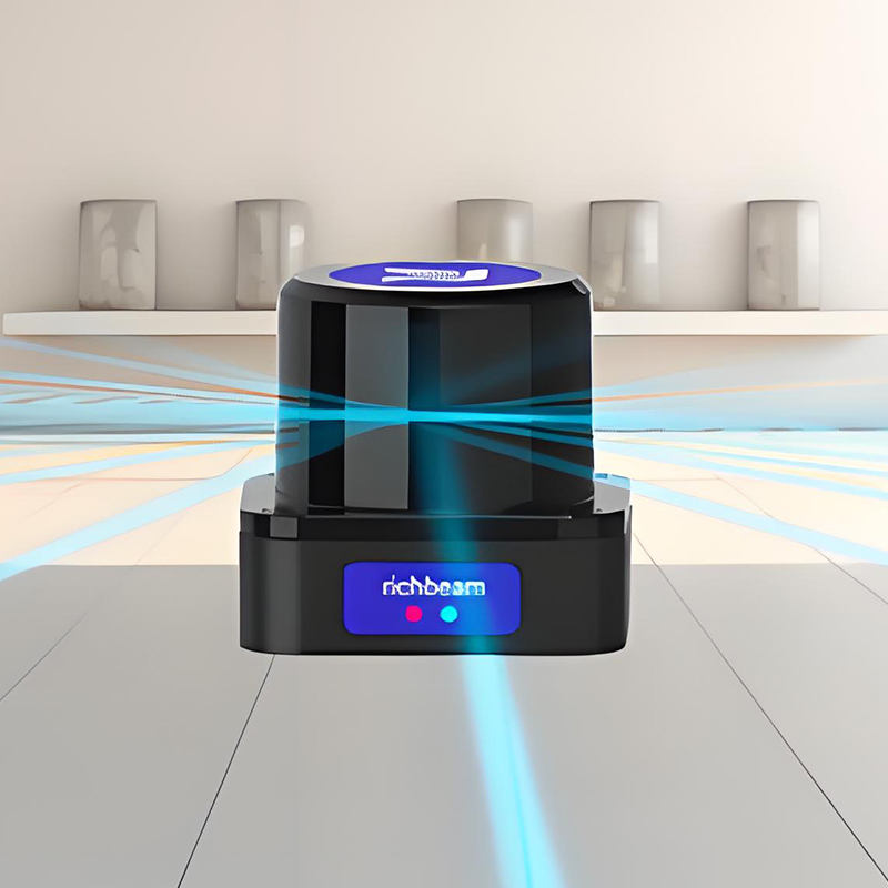
•LoraBeam series adopts dToF ranging technology, which can accurately capture two-dimensional spatial lattice data, with the maximum detection distance of 200m and the effective distance of 120m
•LoraBeam uses dTOF technology to obtain information about the surrounding environment and accurately obtain the distance and Angle of the detected object
• The built-in hardware of LoraBeam can accurately output the signal strength information of the detected object, helping the terminal device distinguish between different objects
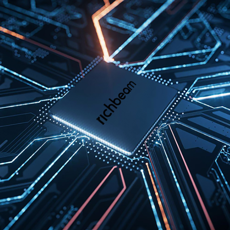
• New chip upgrade: built-in FPGA chip and system-level chip SOC, strong computing power, support to process more returned data, and provide more data support for detection decisions in the same time. 45,000 points/second high-speed sampling capacity
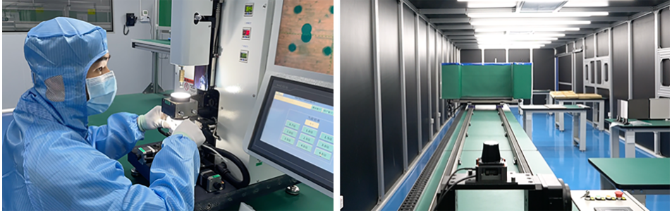
Quality Control
- Calibration equipment accuracy: Use high-precision calibration equipment and instruments to calibrate and calibrate Lidar, such as high-precision rangefinder, Angle meter, etc., and regularly calibrate and maintain the calibration equipment to ensure its accuracy and accuracy.
- Calibration methods and processes: Develop scientific and reasonable calibration methods and processes, and carry out calibration and calibration work in strict accordance with standard operating procedures to ensure the consistency and reliability of calibration results. For example, the range measurement of lidar is calibrated by multiple points, and the Angle measurement is calibrated in all directions.
- Calibration data recording and traceability: All data generated in the calibration process are recorded and saved in detail, and calibration data files are established in order to trace and query the quality status of products, and provide data support for subsequent quality improvement.
Application Cases
Lidar is very widely used, and here are some common application areas:
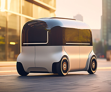
• In the field of autonomous driving: high-precision positioning combined with high-precision maps, LiDAR can realize high-precision positioning of vehicles through the identification and matching of the characteristics of the surrounding environment, and determine the accurate position of vehicles in the map, thus providing a reliable basis for the path planning and navigation of autonomous driving.
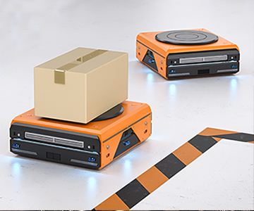
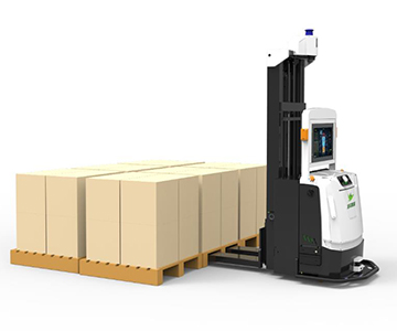
• Robot field: navigation and determination, industrial robots, service robots, warehousing and logistics robots, etc., can use LiDAR to obtain information about the surrounding environment, achieve autonomous navigation and accurate positioning, so as to accurately move to the target position in a complex environment and complete various tasks, such as material handling, cleaning, inspection, etc.
• Intelligent transportation field: traffic flow monitoring, liDAR installed above the road or on the side of the road can monitor the flow, speed and density of vehicles on the road in real time, providing accurate data support for traffic management departments to better traffic signal control, congestion relief and traffic planning.
Service
- Installation and commissioning: Assist customers in the installation and commissioning of LiDAR to ensure the normal operation of the equipment. Lidar technical support includes product installation, commissioning and other services to help customers better use and maintain products.
- Use training: Provide product use training for customers, so that customers can master the operation methods and precautions of LiDAR, use the equipment correctly, and extend the service life of the equipment.
- Question consultation and answer: When customers encounter problems in the process of use, they can consult the after-sales technical support team at any time, and the technical staff will answer questions in time to provide solutions.
- Remote assistance: Provide remote technical support to customers through telephone, email, online customer service, etc., to help customers solve some simple problems and quickly restore equipment operation.